MapLocal Community Mapping
 Last year and into this year I was involved in an AHRC Connected Communities project led by Phil Jones with Colin Lorne and Antonia Layard (University of Birmingham) in which we designed an Android app that allowed residents of communities to gather information about their neighbourhoods. The app was developed by Chris Blunt (Plymouth Software) and is now available for everyone on the Google Play. Naturally the project and app comes with its own website too: http://maplocal.org.uk/ where you can view the maps and learn more about the project.
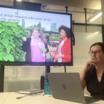
The research project, entitled Localism and Connected Community Planning, was initiated to develop techniques that would unlock the creativity of communities by gathering materials to inform neighbourhood planning. The application was given to 25 residents in Balsall Heath and 25 residents in the Jewellery Quarter in Birmingham, and used GPS technology to allow them to pin point locations of interest in and around their neighbourhoods by taking photos and making audio commentaries. A web browser was developed to review material received from the phones over a Google map.
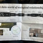
The MapLocal app allows people to walk around their neighbourhood taking photographs and making voice recordings using their smartphone. The pictures and audio clips are then uploaded to a central map which can be accessed on the MapLocal website. As more people from the local area take part, so more and more information about the neighbourhood appears on that community’s map, building a detailed picture of the area.

MapLocal can be used for different purposes, for example, gathering information about a local area in preparation for the production of a local plan which communities in England and Wales have been empowered to make under the provisions of the Localism Act, 2011. It could also be used for local campaigns to highlight issues in a neighbourhood that need addressing or as a means of recording the history of an area that is about to be radically changed as part of a regeneration scheme.
The MapLocal app is currently only available for Android phones and is available via Google Play. The App was developed with the help of members of Balsall Heath and the Jewellery Quarter Neighbourhood Forums.

Documentation and Manual
Colin Lorne who carried out the case studies in Birmingham developed a small book designed by Rosa Nussbaum.
PDF Available here
The book introduces the app and how to use it, but also includes some of the quotes and images that participants tagged using the application:


AHRC Connected Communities Showcase, July 2013
In July of this year Colin and I gave delegates at the AHRC Connected Communities Showcase a chance to play with MapLocal. Based at the Heriot Watt in Edinburgh participants used the application to map ‘landmarks’ across the campus.
Video documentation provides an insight into how the application works and how content is pushed to the shared google map for review later.
Rationale and research context
The Localism Bill currently making its way through Parliament is built upon the idea that communities should be empowered to ‘shape the place’. The Neighbourhood Plan is a new, powerful mechanism for delivering this empowerment, which will take priority over those plans produced at the local authority scale (Draft National Planning Policy Framework, 2011).
In principle the new Bill represents grass roots, bottom up, participatory planning in action. The problem with participatory planning, however, is that some kind of intermediary usually needs to step in to help communities translate neighbourhood aspiration into a programme of action compatible with the policy landscape. There are many examples of highly innovative work in this area: Gordon & Koo’s (2008) use of SecondLife to allow participants to build 3D models of their ideal urban environment; Christian Nold’s (2009) artistic mapping of participants’ stress levels; and more conventional participatory planning exercises such as Planning For Real
The intervention of intermediaries is, however, becoming less sustainable as public sector cuts bite and the budgets of third sector organisations are slashed. Techniques need to be developed for communities to independently gather data about their area and identify the key issues that need to be addressed. They also need to be able to challenge the unitary assumptions inherent in a single neighbourhood forum and a single neighbourhood map set out in two dimensions and providing the policy basis for which subsequent development and regeneration decisions are made.
Using an intermediary to translate communities understandings of ‘their’ community and ‘their’ locality and setting these out in a single documentary form is not sustainable. More creative solutions are needed. This project builds on the experience of creativity in community planning and housing in Stokes Croft where the dispute of the siting of Tesco shop, facilitated by current planning law and policy, has challenged one community’s vision of ‘their’ place, while providing a convenience store for other members of that same and different communities. This multiplicity challenges the unitary assumption inherent in the Localism Bill’s conception of a single neighbourhood forum and plan.
Rather than reject the idea of neighbourhood planning, more innovative approaches are required so producing materials for a Neighbourhood Plan can connect communities that, although living in the same geographic area, rarely interact with each other. Such an exercise not only taps into community knowledge about an area, but also a community’s creativity through suggesting innovative solutions to specific local problems. The link between creativity and mapping is important since legislators and policy-makers conventionally imagine that they work with what they are given and that the boundaries of a given locality are already set. Yet representing and constructing the local by categorising and mapping are not neutral acts; there are multiple maps and multiple localities. This needs to be acknowledged and integrated into a legislative and administrative framework.
Using the MapLocal, two case studies were undertaken in collaboration with the Balsall Heath and 25 residents in the Jewellery Quarter in Birmingham. These neighbourhood organisations were ideal test beds for developing the proposed mapping techniques because they operate in areas facing a series of complex challenges, with communities disconnected from formal policy processes.
Credits
This project was led by Phil Jones (Geography, University of Birmingham), with Antonia Layard
(Law, University of Birmingham) and Chris Speed (Architecture, University of Edinburgh). The researcher on the project was Colin Lorne (Geography, University of Birmingham). The app was developed by Chris Blunt of Plymouth Software.
The project was undertaken in collaboration with Chamberlain Forum, MADE, Joe Holyoak, Balsall Heath Neighbourhood Forum and the Jewellery Quarter Neighbourhood Forum.
MapLocal was developed as part of a research project funded by the Arts and Humanities Research Council as part of the Connected Communities programme.
If you had any queries about MapLocal, or if you want to set up your own community map, get in touch with the project leader, Dr. Phil Jones at maplocalproject@gmail.com and see the MapLocal website (maplocal.org.uk)
Related posts
Data Otherwise
Data Otherwise: More-than-Human Data Practices at DRS 2026 What if the problem with data isn’t...
DRS 2026 summary and list of RMIT papers
I’ve been fortunate to be at DRS 2026 in Edinburgh this week, about to catch a train and then...
Making Knowledge, Fragmenting Certainty
Friday 22nd, 2026 at Monash, design researchers presented artifacts from their practice—Jon McCormac...
YOU ARE NOT FEEDSTOCK
Last week at The Capitol Melbourne, we launched the RMIT Regenerative Futures Institute. I want to t...
What Doesn’t Need To Be New: Two Launches, One Week, One Paradox
Last week brought two events exploring regenerative futures from very different angles. On one after...
What does it mean for a university to be alive?
The RSA (The royal society for arts, manufactures and commerce), RMIT’s Regenerative Futures I...
Launching RFI…!
Universities are extraordinarily good at adding things. Sustainability offices. Innovation hubs. Int...
Three provocations on designing futures worth watching / reflecting…
Over recent weeks, we’ve been hosting talks from visitors who come through Melbourne. Always fun to...
What Would It Take to Read the Label?
February’s Futures Collider at RFI put three provocations in a room and asked people to act ou...
What Gets Counted When Institutions Choose Speed
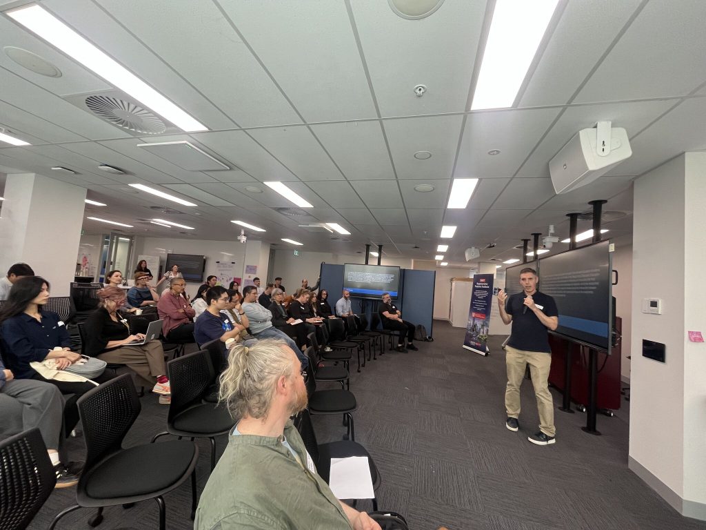
Two Sessions at FACT 2026 Reflections on qualitative knowledge, AI efficiency pressures, and what ge...
Two Rooms, Two Temporalities
Two events at RMIT over the past couple of weeks revisited the temporal challenges at the heart of h...

Temporal Traps
Ending the year between collapse and care: three December gatherings on time, action, and giving bac...

Notes toward the 6th finger
I’ve spent 20 years watching designers optimise products that score well environmentally while...

Rep / Non-Rep & Foreclosure
Catching up with things, and the first of two posts this week, reflecting on events last week. Stayi...
“This communication is not for you.”
Looking to connect 2 recent events / conversations (as is my want) this time to explore a fundamenta...

Design Frequencies: Sharing International Practice in Design Research
Already deep into semester two here. Last semester School of Design RMIT College of Design and Socia...